THE EXCLUSIVE POINT
& CLICK
www.ParkwayMap.com
|
|
Milepost 0 - 65 WAYNESBORO TO BUENA
VISTA |
|
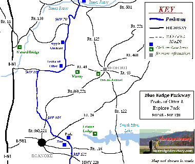
Milepost 65 - 120 PEAKS OF OTTER |
|
Milepost 130 - 160 THE BEGINNING OF
THE
VIRGINIA HIGHLANDS |
|
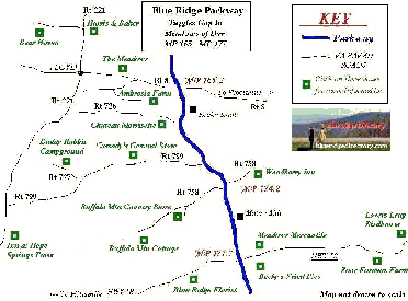
Milepost 160 - 180 MABRY MILL &
ROCKY KNOB |
|
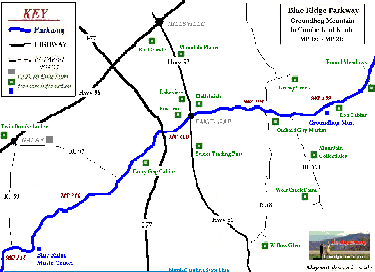
Milepost 180 - 220 FANCY GAP
& HILLSVILLE |
|
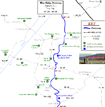
Milepost 220 - 280 DOUGHTON PARK
& BRINEGAR CABIN |
|
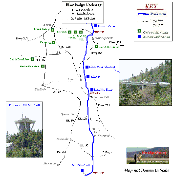
Milepost 280 - 360 BLOWING ROCK to MT.
MITCHELL STATE PARK |
|
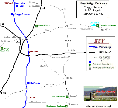
Milepost 360 - 420 GLASSMINE FALLS TO MT.
PISGAH |
|
( MP 420-469 Under
Construction ) |
|
|
MAP INFORMATION DISCLAIMER: ParkwayMap.com maps are not drawn to scale. They are designed only to be used for parkway travelers to find nearby shops, restaurants and lodgings as they plan their trip on the Blue Ridge Parkway. The webmaster/owner(s) of Blue Ridge Directory.com and ParkwayMap.com will not be held liable for the accuracy of the information on the maps. The mountain picture behind the Parkwaymap.com logo at the top was taken on the Parkway looking west into Avery County NC. ADD ME TO THE MAP: 1. Your Parkway Business must be listed on the Blue
Ridge Directory |
PARKWAY COUNTY MAP
The counties that are shaded in green represent counties along the parkway. Use this map along with the Blue Ridge Directory to find all sorts of interesting shops and lodgings in your travels along the Blue Ridge Parkway.
The Parkway Starts just outside Waynesboro, Virginia at Milepost 0. It winds between counties, sometimes serving as the county line, 469 miles into the Cherokee Reservation in Swain County NC. For more detail maps visit the Virginia and North Carolina State Transportation Map websites.
Names of counties along the Parkway (Northern Area) |
Map of counties along the Parkway (Northern Area) |
||||||||||||||||||||||||||||||||||||||||
|
|
Map of counties along the Parkway (Southern Area) |
Names of counties along the Parkway (Southern Area) |
||||||||||||||||||||||||||||||||||||
|
|
All Rights Reserved, Blue Ridge Directory.com